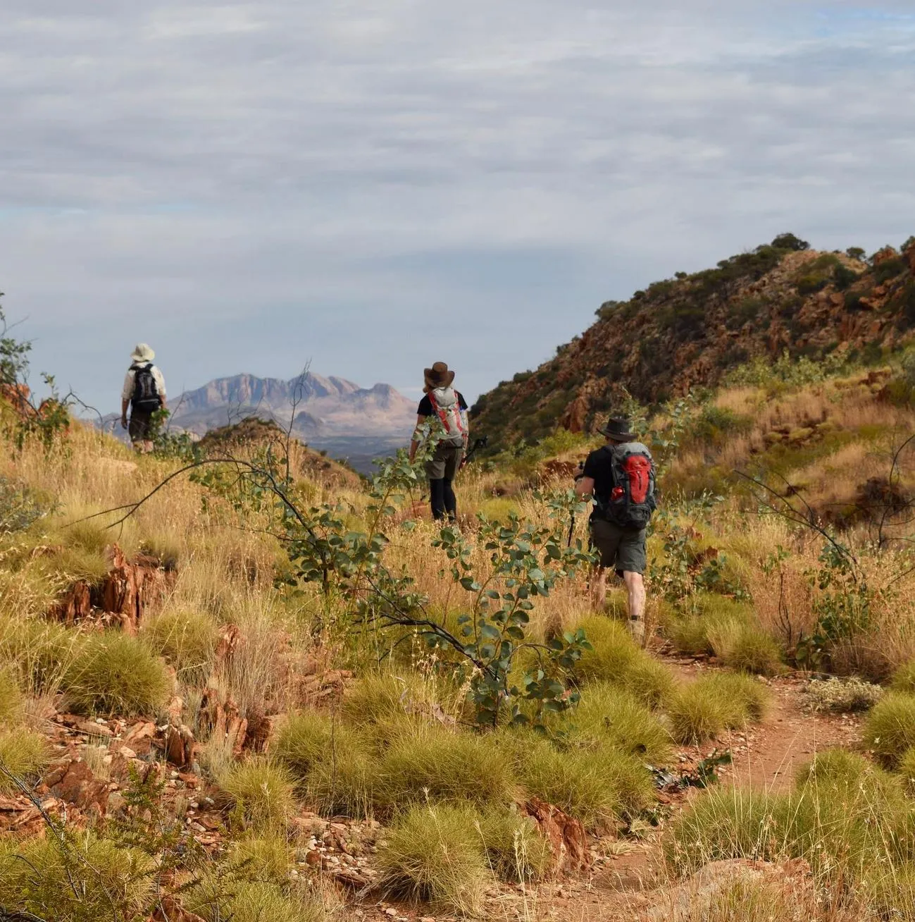
The Larapinta Trail is one of Australia’s most famous long-distance trails and runs through the stunning West MacDonnell Ranges in the Northern Territory. 223km of rugged terrain, diverse ecosystems and breathtaking views make it a challenge for the adventurous hiker. But the question remains: is the Larapinta Trail hard?
In this guide, we will break down the difficulty of the Larapinta Trail, terrain, distance, preparation and overall experience to help you decide if it’s the hike for you.
Trail Introduction
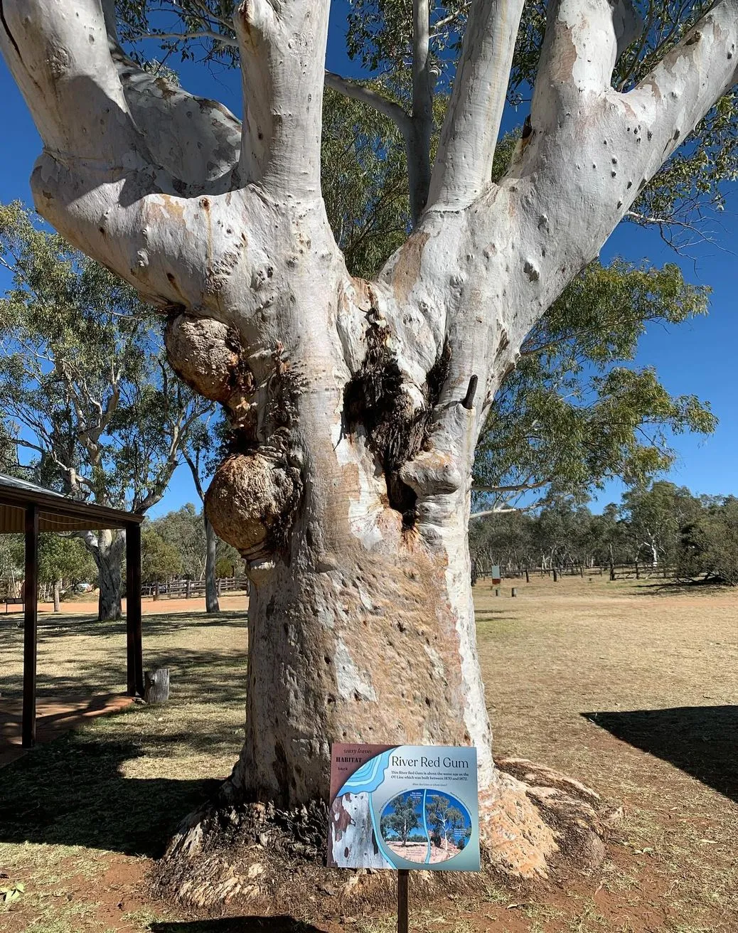
Before we get into the nitty gritty of difficulty, let’s first understand what the Larapinta Trail is. From Alice Springs to beautiful Mt Sonder, the trail is a true showcase of Central Australia’s natural beauty. It runs through rocky hills, gorges and waterholes, ancient Aboriginal land and historical sites like the Alice Springs Telegraph Station.
The trail is divided into 12 sections, each with its own challenges and highlights. Hikers can do the whole trail or day hikes depending on time and fitness. Popular sections include Ormiston Gorge, Redbank Gorge and Serpentine Gorge with stunning views of the surrounding landscape.
Terrain: A Major Factor in Difficulty
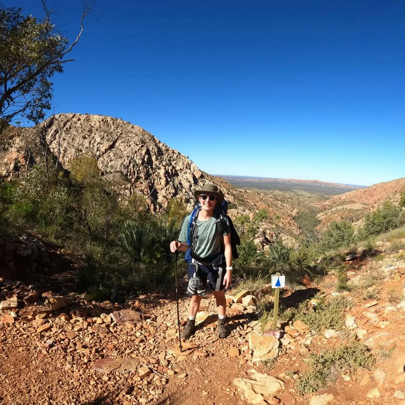
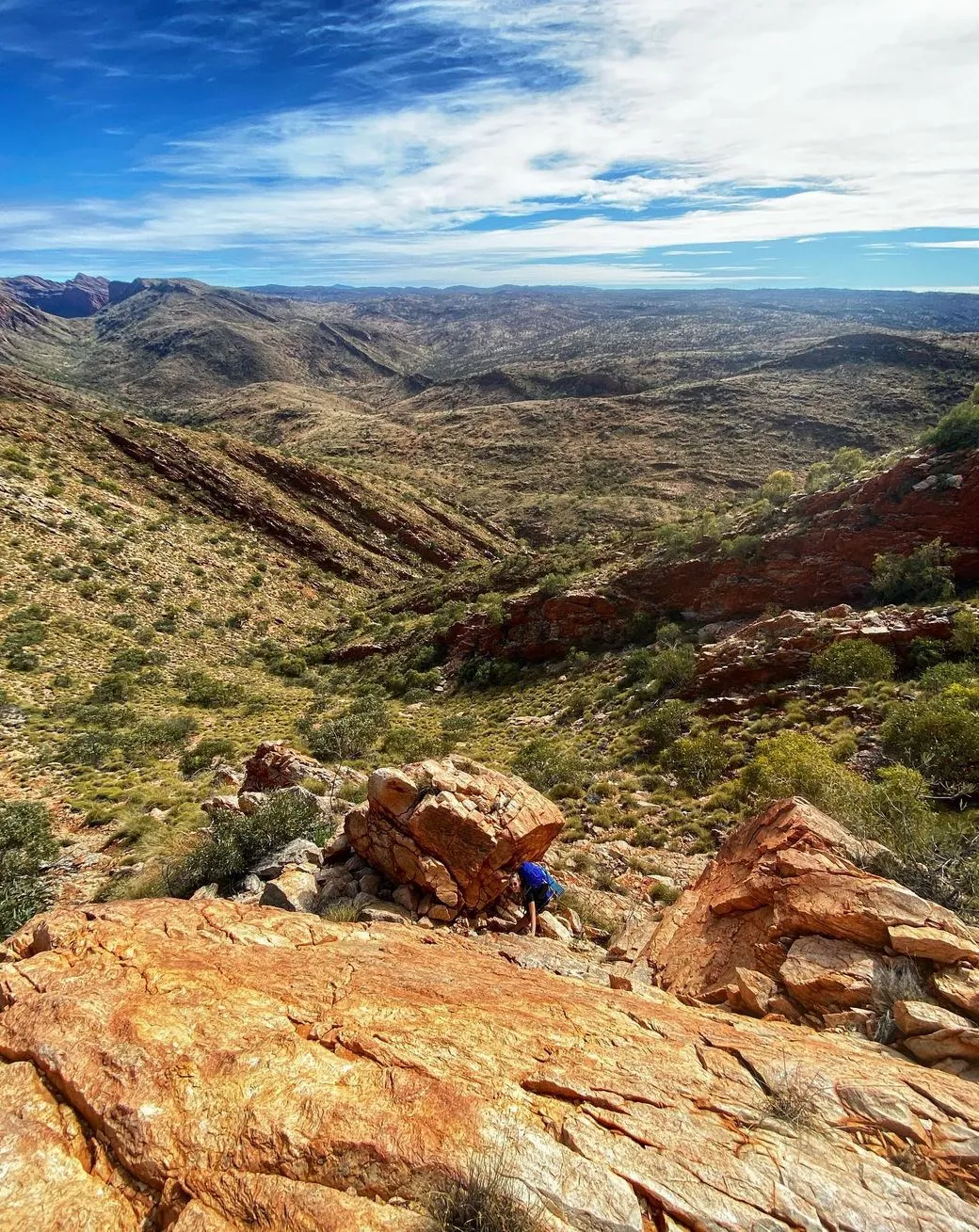
The terrain of the Larapinta Trail is varied and a major contributor to its difficulty. Some sections are flat and easy, others are challenging, with steep climbs, rocky paths and loose gravel. Here’s a breakdown of the different types of terrain:
- Rocky and Rugged: The trail runs over rocky terrain that’s tough on the knees and ankles. Sections like Razorback Ridge and Brinkley Bluff have loose rock and require careful navigation, often involving rock hopping.
- Steep Climbs: Some sections of the trail, like the climb up Mt Sonder and parts of the West MacDonnell Ranges, involve steep climbs and descents. These climbs, including Euro Ridge, require endurance and strength. Inarlanga Pass is particularly tough and requires a high level of fitness from hikers.
- Rivers and Waterholes: Some parts of the trail follow the Finke River and Waterfall Gorge, which can be slippery when wet. Ellery Creek Big Hole and Ellery Creek South are popular breaks but hikers need to be aware of no water or access to water in the drier parts of the trail, especially during the hotter months. Water can be scarce, so it’s essential to carry water bottles or use the water tanks at the official campsites.

How Difficult Is Each Section?
| Section | Difficulty | Highlights | Distance |
|---|---|---|---|
| Alice Springs to Simpsons Gap | Moderate | Native wildlife, rugged tracks | 23.8 km |
| Standley Chasm to Jay Creek | Moderate | Rocky ascents, creek crossings | 13.6 km |
| Ormiston Gorge to Glen Helen | Challenging | Iconic views of Mt Sonder | 29.4 km |
| Redbank Gorge to Mt Sonder | Difficult | Sunrise views, steep ascent | 16 km |
Each section varies in difficulty and offers different highlights, from wildlife encounters to panoramic views of the West MacDonnell Ranges.
Distance: The Length of the Trail
223km long, the Larapinta Trail is a long trail, and the distance is a big factor in the overall difficulty. Most people take 12-14 days to complete the whole trail, walking 15-20 km per day. You need to be in good physical shape, able to walk for long periods of time, sometimes with a heavy pack carrying litres of water and food. There are food drops and food boxes at certain points, but you need to plan ahead for these.
Weather and Conditions
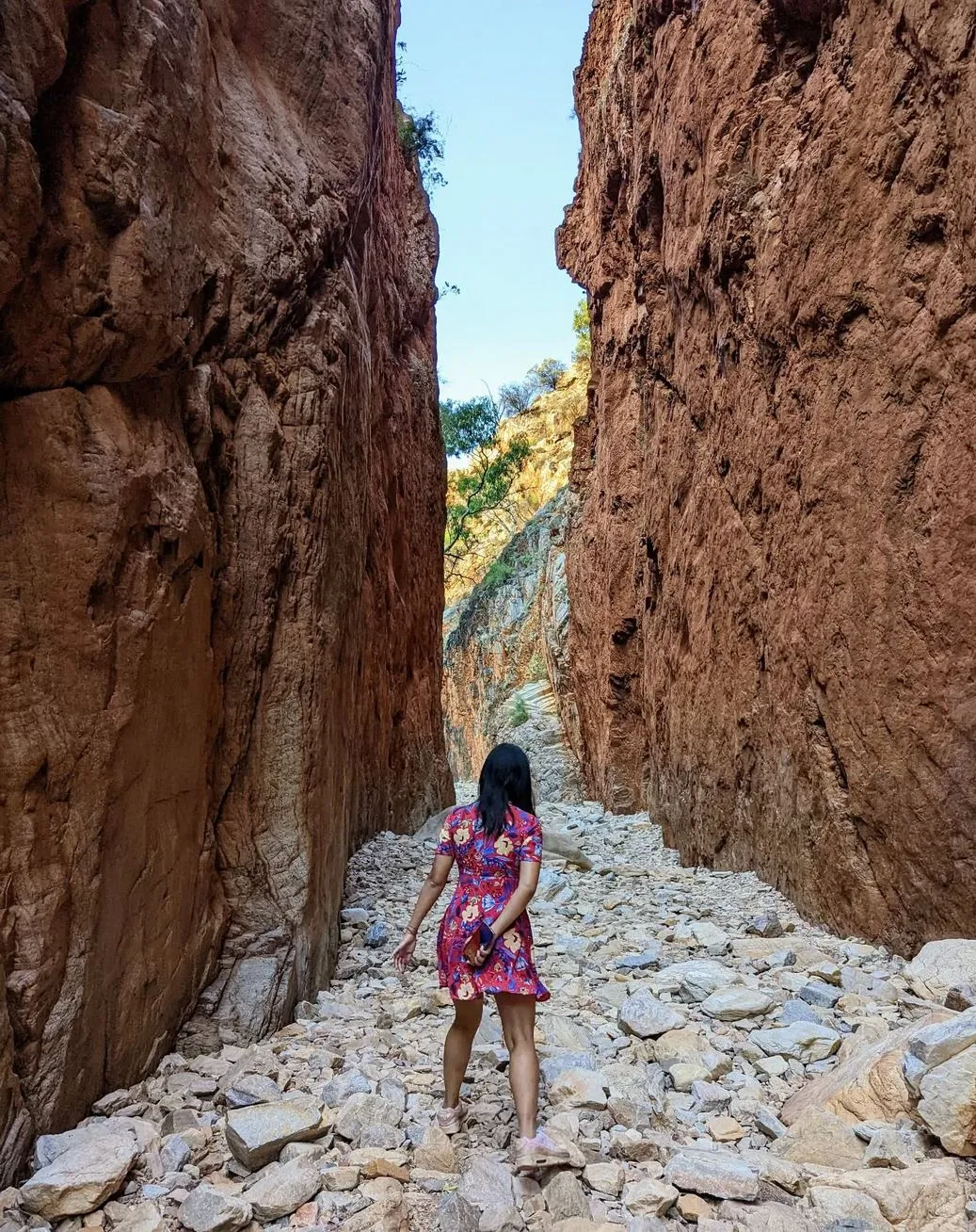
The Northern Territory climate is harsh, hot during the day, especially in summer and cold at night in winter. Temperatures in summer can go over 40°C, so hydration and sun protection is essential. The cooler months (April to October) are the best time to hike.
Winter temperatures can drop dramatically, especially at night, with temperatures sometimes below freezing. If you’re hiking in the cooler months you’ll need to pack warm clothing and be prepared to hike in freezing conditions at night especially when passing through areas like Mulga Camp or Serpentine Chalet Dam.
Navigation and Trail Marking
The Larapinta Trail is well signposted with blue arrows but hikers still need to be able to navigate the remote and rough terrain. It’s recommended to carry a map or GPS device, especially when hiking in less travelled sections like Jay Creek and Rocky Gully. Independent hikers, especially those hiking multi day sections will find these maps essential. Mobile phone reception is limited, so carrying a satellite phone will give you peace of mind.
Preparation: How to Get Ready for the Trail
Before you start, make sure you’re prepared for a safe and enjoyable hike on the Larapinta Trail. Here are some things to consider:
- Physical Training: The trail is physically demanding, so you need to prepare your body for the hike. Regular walking or hiking and strength training will help build endurance and muscle for rough terrain.
- Gear and Equipment: Having the right gear is essential for a successful hike. Consider investing in good hiking boots, a lightweight but durable backpack and proper camping gear if you’re doing the whole trail. A good quality sleeping bag, tent and cooking gear are necessary if you’re camping at official campsites like Glen Helen Gorge or Simpsons Gap.
- Guided or Self-Guided: While the trail is open to self-guided trekkers, many hikers choose to do a Larapinta Trail Trek Support tour especially if they’re new to long distance hiking. These tours provide extra security, local knowledge and logistical support including food drops and transport to the trail heads.
- Training with a Pack: It’s a good idea to train with a fully loaded backpack before you start the trail, so you can get used to the weight and pressure on your body.
Are There Sections for Beginners?
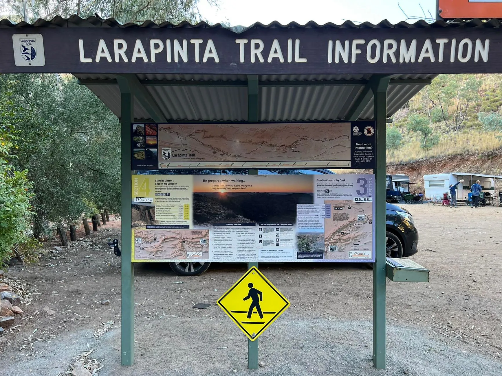
While the Larapinta Trail is considered a tough walk, there are sections that can be done by beginner walkers. The shorter day walks, like the Ormiston Gorge Kiosk area or Spencer Gorge, are more manageable and allow you to experience the landscape without the commitment of a long-distance walk. These shorter sections are perfect for new walkers or those not used to walking in tough terrain.
Conclusion
The Larapinta Trail is a tough walk, but it’s a bloody good one. The difficulty level depends on your fitness level, the time of year and the section of the trail you choose to do. For experienced walkers, the whole trail is an epic journey through one of Australia’s most rugged and remote landscapes. For beginners or those not experienced, doing shorter sections or guided tours can still be a memorable and fulfilling experience.
If you’re up for the challenge the Larapinta Trail has some of the most spectacular views, creek beds, ridge lines and ridges, it’s a must do hike.
For those who prefer a guided experience, a Larapinta Trail Tour offers expert support so you can focus on the landscapes and wildlife and leave the logistics like food drops and campsite arrangements to the experts.
FAQ
How long does it take to do the Larapinta Trail?
It takes around 12-14 days to do the whole trail, depending on your pace and the sections you do.
Can beginners do the Larapinta Trail?
Yes, but beginners should do shorter sections or guided tours. Some sections are suitable for those with limited hiking experience.
What’s the best time to do the Larapinta Trail?
The best time to do this is during the cooler months, April to October, when the temperatures are more manageable. Summer is bloody hot, and hiking is dangerous.
What do I need to bring for the Larapinta Trail?
Must-haves are a good backpack, sturdy hiking boots, water bottle, sun protection, sleeping bag, tent and food for multi day hikes.
Is there mobile phone reception on the Larapinta Trail?
Mobile reception is limited in many parts of the trail, especially in remote areas. Bring a satellite phone or personal locator beacon.
